
Read the Barbour County Parcel Map
A parcel map shows mapped tax parcels. Across Barbour County, it can connect a rural address, a road, or a legal description to ground you can actually picture. Start with the mapped parcel key. Then inspect the surrounding shapes and whatever details appear on screen. A screen map helps with orientation, comparison, and planning a records request. It is not a boundary survey. It is not a title opinion either. For a legal line or a conveyance, compare the map against the recorded deed and plat, and keep the parcel identifier with your notes so the same land can be traced across county records.
| Layer or tool | What appears | Useful for |
|---|---|---|
| Parcel polygon and ID | Tax parcel shape and map key | Joining GIS to tax and assessor records |
| Physical address | Situs address label | Finding a known place |
| Owner/detail | One initial owner, then parcel detail | Routing to the assessment report |
| Flood zone and flood info | Flood-reference fields when populated | Development and permit context |
| Community and E911 | Local name and assigned address | Resolving rural address variants |
| Geometry and buffer | Shape or nearby parcel selection | Finding parcels around a subject |
| KMZ and CSV | Export or share a result | Saving a working reference |
The WV Property Viewer help lists its full tools. That list runs broader than the county map-card screen, where the visible controls stop at district and map-parcel selection.
Find a Barbour County Parcel
A parcel search earns its keep when the address is new. It also helps when the address is rural, or spelled several ways. The viewer documents its search modes. These include attribute search, geometry search, coordinate search, and a buffer-size control. Try a clean address first. If it fails, use the road, a nearby intersection, the community, or map coordinates to reach the area. Then open the parcel detail.
- Open the WV Property Viewer and search by parcel attributes or address.
- If the address is unclear, zoom to a road or enter coordinates and use geometry to select the area.
- Open the parcel detail and record its ID, description, physical address, and available owner/value fields.
- Check flood information, community, and E911 address, then compare the same parcel in the Assessor map card and tax inquiry.
- Save a link, KMZ, or CSV for orientation, with the date and source noted.
The viewer links Street View and several map services for visual context. Those links help you find a road or structure. They do not show a property line. A Barbour County parcel map is a research tool. The selected parcel view shows the detail layout and the external map controls. Its example is a sample, not a Barbour owner result.
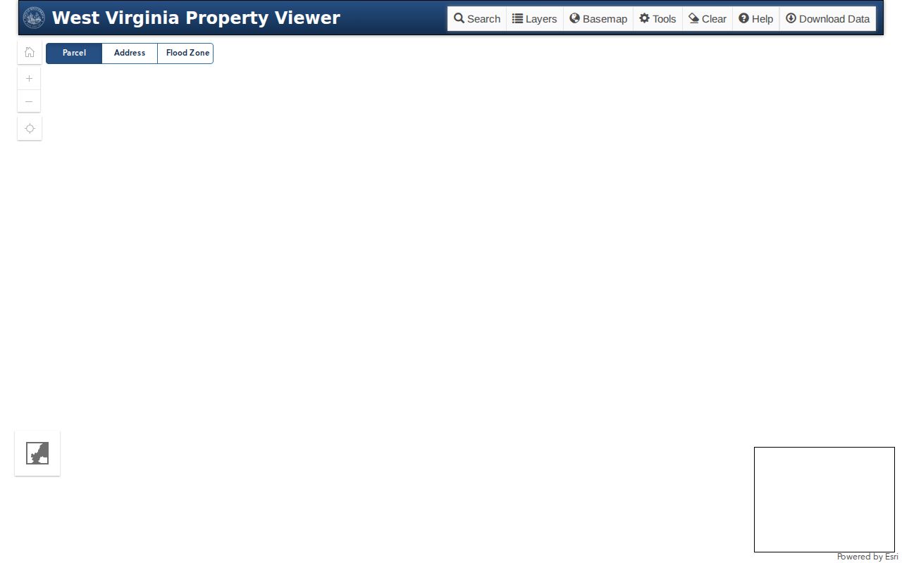
The image marks where a map search begins. Open the parcel detail before trusting an address label as the full record.
Limits of Barbour County Parcel Maps
Tax mapping helps you find and compare parcels. It is not a legal boundary survey. A polygon can sit off its true spot, be generalized, or trace an older tax map. A line drawn on screen settles nothing. It will not place a fence or end a boundary dispute. When a purchase or a construction project hangs on a line, check the recorded deed, plat, and easement, and rely on a licensed surveyor. WV's mobile help separates deeded acreage from mapped or tax information. Deeded acreage is the figure listed in the deed. Preserve the words and calls in the land description. A GIS area measurement and the deed acreage can differ because each was made for a different use, and when the display does not fit the description, ask the Clerk for the recorded source instrument.
Map lines are not surveys. Barbour County parcel maps help locate a record and compare nearby shapes. They do not establish ownership, acreage, or a legally surveyed boundary.
Barbour County Parcel Number Parts
The statewide WV format runs district, map, parcel, then suffix. The documented shape is strict. Two digits give the district, then four for map, four for parcel, and four for suffix. Short values take leading zeroes. The example pattern is 01 2345-6789-0123. Barbour's local assessor screen offers District and Map/Parcel controls without printing the full syntax, so confirm the exact local format with the Assessor. Keep every segment. A suffix can separate an assessed unit from another part of a broad map area. Never strip zeroes when moving between the map card, tax ticket, GIS viewer, and a Clerk request. One wrong digit can point to a different tract. The parcel number is a tax and map join key, while the deed's legal description identifies the land conveyed through a lot/block call, a tract, or metes-and-bounds language. Both belong in a careful lookup record.
Barbour County Assessor Map Card
The local map-card viewer presents a District selector and Map/Parcel controls, but the page does not say which is required or spell out the input format. Card copies require a trip to the Assessor's office. Use the web screen to identify the parcel first. Then request the card at 26 N. Main in Philippi if a paper copy is needed. The Barbour map-card page links to county maps and tax inquiry. The Assessor maintains property records and tax maps for public use. It also sets exemption eligibility. An annual sales-ratio analysis is part of its work.
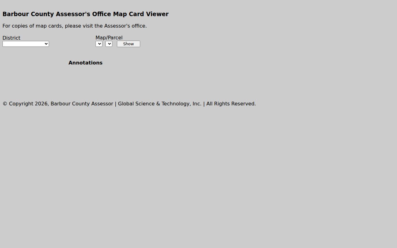
The image shows the control names and copy notice. Ask the Assessor which card format covers a parcel before a counter trip.
Barbour County Plats and Lots
A recorded plat tells a richer story. It shows subdivision, lot, block, and road. The Clerk records plats. Start with the map named in the deed, then ask whether a later replat or vacation redrew it. A plat may reveal a right-of-way, shared access, or road that a tax-map outline hides. Recording a plat without a deed costs $10 under W. Va. Code §59-1-10.
Lot descriptions differ. Match the subdivision name and lot exactly. Metes and bounds takes more care. Trace each call, adjoining owner, road, stream, and prior deed as you walk the lines. A legal description can even preserve a former community name after a newer E911 address is assigned. The county addressing form asks for subdivision and lot, tax parcel, road, intersection, driveway distance, flood permit, and an attached map.
The county's own map application loads unreliably. When it fails, use WV Property Viewer to find the location and request the recorded plat itself from the Clerk.
Barbour County Flood and Permit Context
Statewide parcel detail can display flood zone and flood data. Those fields raise permit questions. They cannot settle a site-specific engineering call. Outside municipal limits, Barbour County requires a development permit for covered work. New construction counts. So do additions, garages, decks, driveways, and moved structures. Inside Philippi, Belington, or Junior, municipal permitting applies instead.
The fee schedule lists $75 for residential and $300 for commercial applications, with extra project-cost fees when floodplain review applies. The Floodplain Coordinator sits at 111 Overlook Drive in Philippi. Ask whether proposed work on a parcel needs a permit and which boundary governs. A ZIP label alone cannot decide jurisdiction. Carry the parcel key between map and assessment sources with the Barbour County property search route.
Barbour County E911 Address Layer
Barbour Mapping and Addressing works from a form mailed to 111 Overlook Drive in Philippi. The form asks plenty. Expect applicant contact details, road name, nearest intersection, driveway distance, tax parcel, subdivision and lot, flood permit number, and a drawn or attached map. Developers must attach a lot map or equivalent. A multi-tenant structure needs a floor plan. Residential requests should wait until the driveway is marked and construction has begun. Processing takes at least one week.
No address is assigned without a county floodplain permit. That links the E911 address to the permit process. It also explains why a rural parcel may carry an older deed description but a new road address. The county ordinance adopts the Statewide Addressing and Mapping System as its base map, with cadastral, elevation, geodetic-control, and government-unit layers.
Pair the approved address with the map-parcel. Neither should replace the recorded legal description.
Barbour County Map Exports
The WV Property Viewer can download a KMZ and export CSV results. A KMZ opens in compatible mapping software. A CSV helps track a list of parcel keys. The county publishes no downloadable Barbour County parcel dataset and no data-vintage statement. A saved export is not a complete ownership file. Values inside it may be stale.
Record the source, export date, selected geography, and any filters, then reopen the individual parcel before trusting an owner or value field. When a cross-check fails, go to the custodians. The Assessor and Sheriff Tax Office answer first. Then ask the Clerk for the recorded instrument and plat. A nearby-parcel workflow has its own limits, using buffer and geometry tools only for the block around a subject parcel.
Barbour County Map Record Trail
A parcel map pays off when you trace it back to paper. Start with the polygon. Copy the full parcel number and carry it to the tax inquiry. The written description then points you to the Clerk's recorded instrument. For rural tracts, the E911 address adds helpful access context. A subdivision calls for its recorded plat. A disputed line calls for a licensed survey rather than a measurement on a screen.
The WV Property Viewer backs this trail up statewide. It blends Tax Division data with GIS Technical Center layers and covers all 55 counties. A county GIS application can add local detail where one exists. Availability varies, though. So note which screen supplied each field before a portal changes.
Barbour County parcel maps show where a record belongs. The deed and the plat supply the legal description that settles it.