
Search Barbour County Property Records
Every place in Barbour County connects to a parcel, a tax history, and a deed record file. Those records describe who holds title. A good search starts from what you already know. That may be a street address, a parcel number, a deed book reference, or an owner of record. Match files by map-parcel and legal description whenever you can. Names and mailing addresses drift across records. Public searches help you find the right file. The official copy at the responsible office settles what matters. Work from location to record, then confirm the record at its custodian. The Barbour County property search path runs from an address or known owner to a parcel key. You can carry that key into the deed and tax systems. County records show the filed owner, assessed value, tax status, and mapped location. They cannot prove that no competing claim exists. Nor do they turn a GIS line into a surveyed boundary.
- Enter the street address in the county map or statewide parcel viewer. If the result is uncertain, try a road name, community, or nearby intersection.
- Write down the district, map, parcel, and suffix. Keep the physical address and the mailing address as separate facts.
- Use the parcel and legal description to find the latest deed in the County Clerk index or ask the Clerk for a counter search.
- Match the same map-parcel in Tax Inquiry to see the year, billed amount, payments, balance, and billing name.
- Save a link or map export for orientation, then request a copy from the custodian if the online view does not supply it.
Barbour County Property Records Offices
Three offices answer most land questions in Barbour County. One parcel may touch all of them, yet their duties stay distinct. The County Clerk records deeds and other instruments. The Assessor keeps the assessment roll and the tax maps. The Sheriff Tax Office bills and collects property taxes. It also handles redemptions and runs the annual delinquent land sale. GIS and E911 questions go to Mapping and Addressing or the statewide viewer.
The Circuit Clerk holds court files. The County Clerk records land instruments. A foreclosure, judgment, or lis pendens search can span both. E911 Mapping and Addressing takes address requests at 111 Overlook Drive. The Clerk portal publishes no reliable online view. The map-card screen notes that copies require an Assessor office visit. Those limits make a call or counter visit part of any complete Barbour County record search. The county's map-card viewer opens with district and map-parcel controls. The screen repeats the office-copy notice. That matters when a buyer or heir needs the card itself. It is not just a value readout.
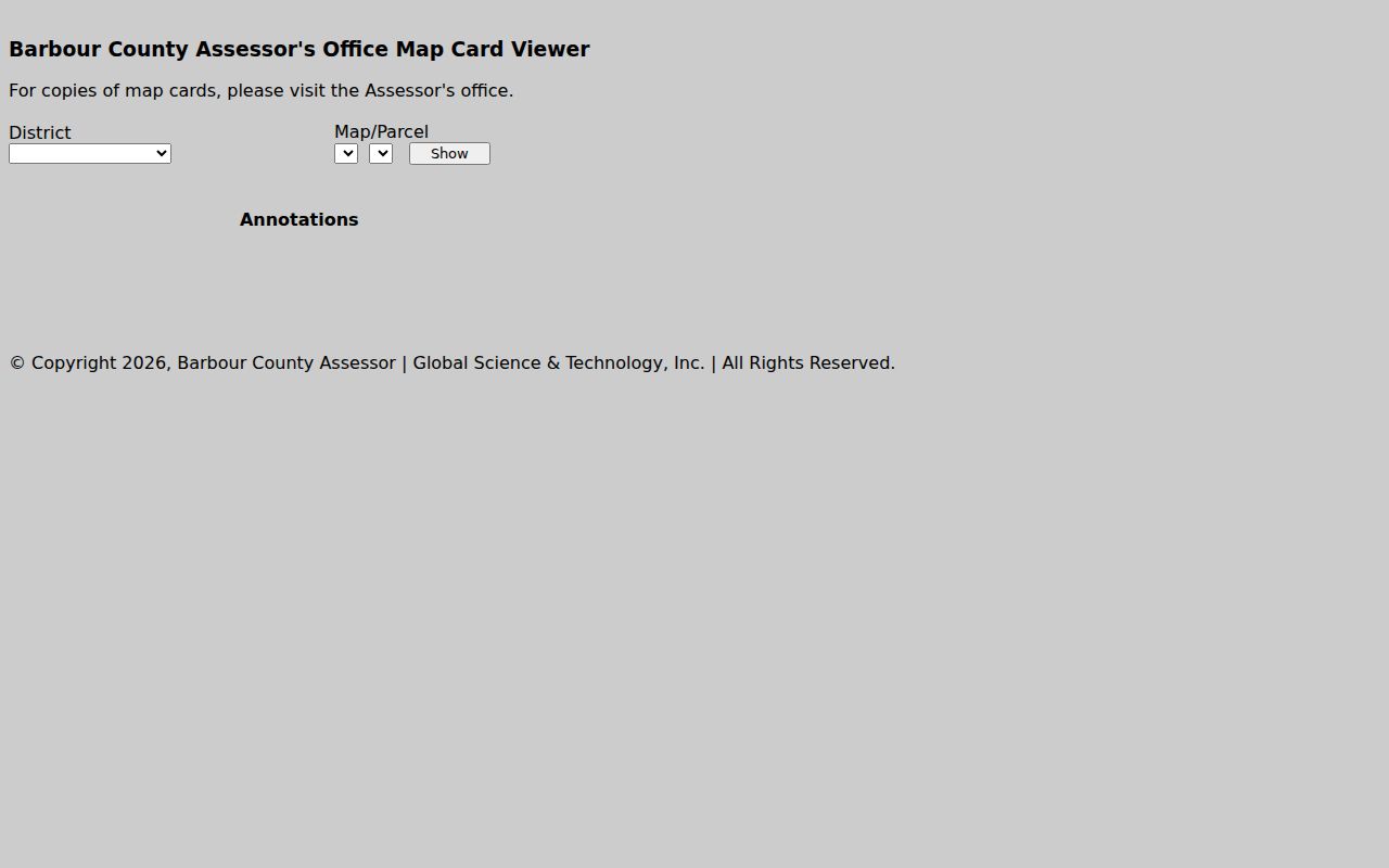
The Assessor's map-card page shows the district and parcel key controls along with its notice about copies. It is a useful prompt to plan a counter trip when a paper card is what you need.
Barbour County Assessment Cycle and Value
Each year the Assessor sets an appraised market value for a property. Assessed value is 60 percent of that figure. That assessed number is the tax base. It is not a forecast of what a house would sell for. County policy calls for visiting every real-estate parcel at least once every three years. It also calls for keeping tax maps and assessment records open to the public. The office also runs a yearly sales-ratio analysis and reports prior-year transfers by December 1. The calendar explains a common lag. Assessment books close January 30. The Board of Equalization and Review gets them by February 1. Certified values are due March 3. A fresh deed can sit in the Clerk's records. The owner field catches up in the next cycle. For a recent sale, the latest recorded deed is the better check. The Assessor's official page states the 60-percent formula and all key dates.
The county's published rule makes the two numbers easy to read side by side. Compare like assessment years, and keep appraised and assessed amounts clearly apart.
Barbour County Tax Records by Date
The Sheriff Tax Office posts a year selector and a results grid. Each bill joins to its ticket and map-parcel. Columns cover year, type, ticket, name, totals paid and billed, first and second halves, total due, and account number. Description and billing address round out the grid. The taxpayer name or billing address can differ from the owner or the land itself. Lean on the map-parcel and description as the stable cross-reference. Current tax bills go out July 15. A discount runs through September 1 on the first half. The second half keeps its discount through March 1. The first half turns delinquent October 1; the second turns delinquent April 1. Anything unpaid at close of business April 30 gets published with added fees. The annual land sale follows. Online payments carry a 2.3 percent surcharge. The Sheriff Tax Office page gives the current calendar and the redemption route. The Sheriff Tax Office page lays out payment and delinquency guidance. The tax portal shows the join fields rather than a sample account. Read each amount in its own column. Confirm the parcel before paying or treating a balance as a lien on the property.
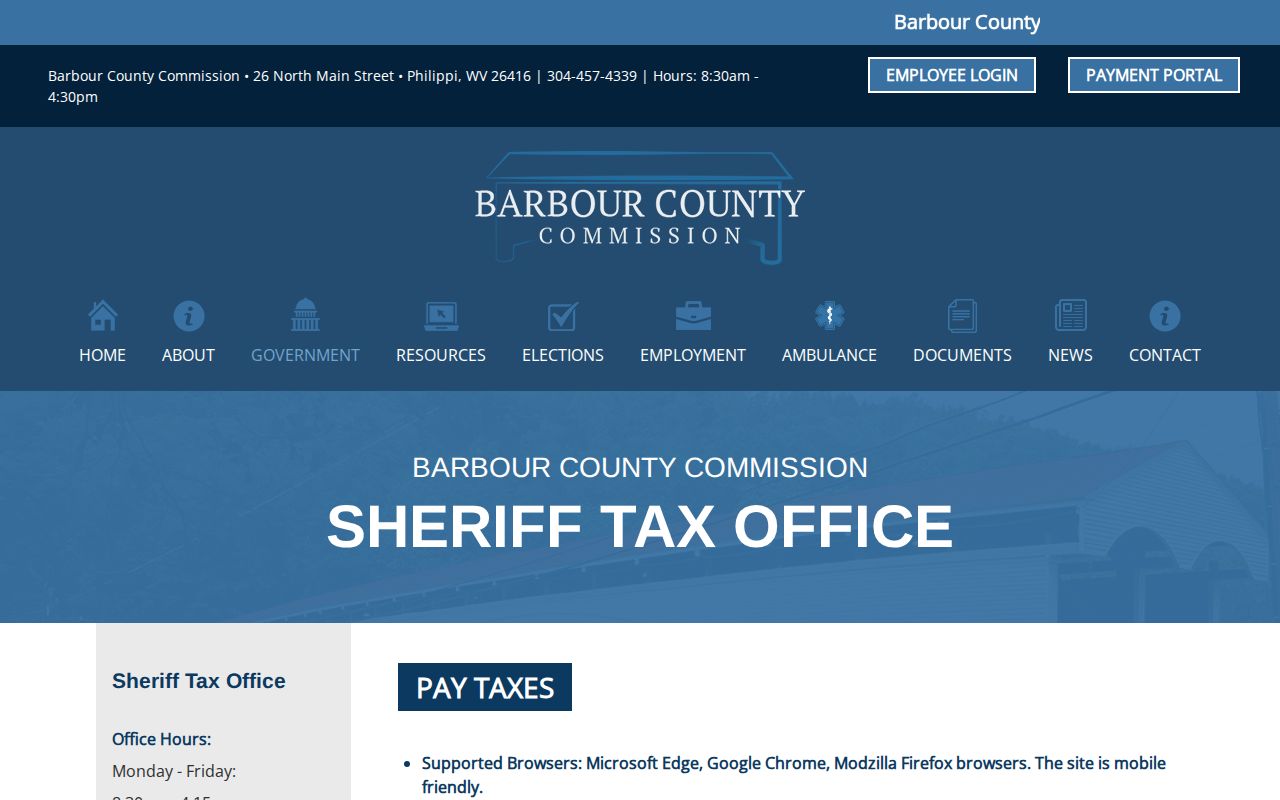
The official Barbour County tax page brings payment, delinquency, and land-sale functions into a single county channel. Property records tied to a tax bill start with the parcel match. Use the live inquiry result for a real ticket. If the parcel match is unclear, call the tax office before relying on it.
Barbour County GIS Parcel Detail
Barbour County links a local web map, though that application does not load reliably. The statewide WV Property Viewer covers all 55 counties and works as the practical fallback. Search by parcel attributes, coordinates, or a drawn geometry. It also supports a buffer. It offers parcel detail, flood information, a shareable map link, KMZ, and CSV. One caution applies. Its detail may list a single owner even when a parcel has more than one.
The viewer opens with the physical address. The detail screen adds the owner's mailing address and description. It also shows building information, cost values, appraised values, delinquent status, community, E911 address, and flood-zone data. It links to an assessment report too. Treat a GIS result as a location clue, never a survey. The legal description in the recorded deed remains the key source for the land conveyed.
The parcel view also makes a good starting point for neighbor research. Select the subject parcel and set a buffer. Use geometry or note nearby parcel IDs, and open each detail separately. Never infer ownership from a map label alone.
Barbour County Deed Index Access
The County Clerk of the County Commission holds Barbour County's core property records: deeds, deeds of trust, releases, liens, plats, UCC filings, wills, and estates. The county links a Document Inquiry at 129.71.117.241, though the portal does not always render. Its start year, search fields, and document-type options remain unpublished. No coverage date should be inferred from a portal link or a statewide service page.
When an online deed result is missing, call the Clerk at (304) 457-2232 or visit 26 N. Main in Philippi. Ask staff to run both grantor and grantee directions by name and legal description. A book-and-page reference, parcel number, approximate date, or neighboring owner can narrow the search. Ask whether the volume you need is original, scanned, or on film. Request a copy estimate before ordering.
Recording fees follow W. Va. Code §59-1-10. A deed or deed of trust costs $30 to record. A plat without a deed costs $10. Copies run $1.50 plus $1 for each page over two. The statewide Cott service publishes daily index and image access pricing, but Barbour participation and its historical cutoff are not stated.
Barbour County Situs and Parcel Keys
Each label in property records answers a different question. The situs address says where a parcel lies. A mailing address says where a bill or letter goes. A legal description says which land a deed conveys. The map-parcel number joins the tax roll, GIS, and other county records together. These labels can disagree without any one of them being wrong.
West Virginia's statewide viewer formats a parcel as a two-digit district, four-digit map, four-digit parcel, and four-digit suffix. Leading zeroes stay in place. The pattern looks like 01 2345-6789-0123. Barbour's local card uses district and map-parcel controls but does not publish its exact syntax. Preserve leading zeroes whenever you copy a parcel number. Rural searches may also need a road, nearest intersection, or community name. An older tract phrase may work better than the new E911 address.
Barbour's addressing form asks for the road, nearest intersection, driveway distance, tax parcel, subdivision and lot, and a flood permit. A drawn or attached map is also required. Those details bridge old place-name deed records to new physical addresses. ZIP codes 26416, 26250, and 26275 identify delivery areas, not municipal boundaries.
Barbour County Permit Boundaries
Philippi, Belington, and Junior issue municipal permits inside their own boundaries. Outside those limits, the county Development Permit runs through Emergency Management and Floodplain Administration. The office sits at 111 Overlook Drive in Philippi. County examples include new construction, manufactured homes, relocated structures, additions, garages, decks, and driveways. Fees run $75 for residential applications. Commercial applications cost $300. Added fees tied to project cost apply when floodplain review is required.
A Philippi mailing address does not prove the parcel sits inside the city. Check the boundary with GIS or E911 data first. Then ask the municipal office or the county coordinator which permit path applies. A city permit record shows approval or inspection activity only. It is not evidence of ownership.
The county's development permit page explains the municipal split and the fee table.
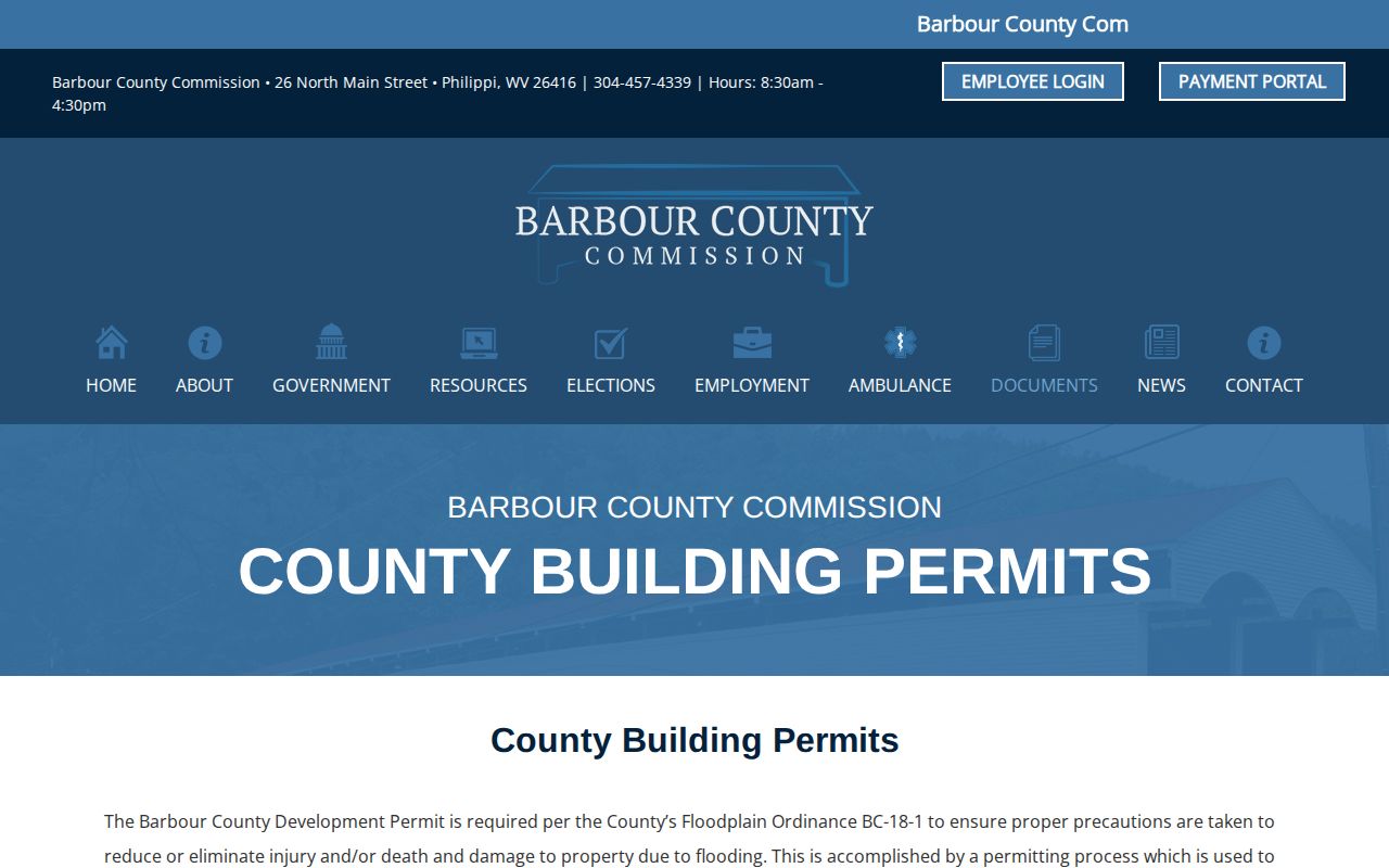
The county-side permit path handles areas outside incorporated towns. Inside a town's limits, confirm the local permit with that municipality instead.
Philippi History in Barbour County Records
Barbour County formed in 1843, and Philippi was chartered a year later in 1844. The Tygart Valley shaped many place names. Those names still appear in deeds, plats, and local histories. A 2011 West Virginia Supreme Court memorandum cites "Barbour County Deed Book 447, Page 100." That is a genuine example of the book-and-page style used in property records. It shows how a historic reference can lead you to the recorded instrument itself.
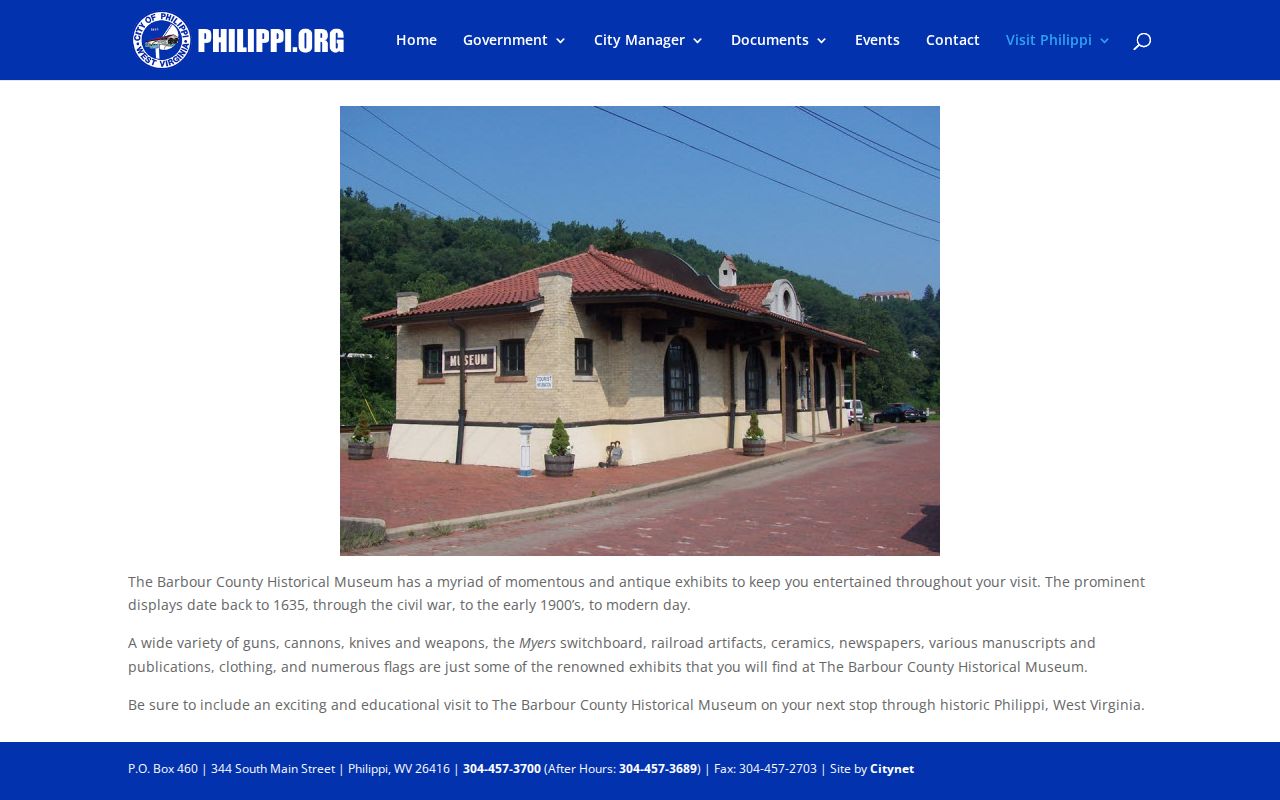
The Barbour County Historical Museum occupies a former railroad station. It advertises newspapers, manuscripts, publications, railroad artifacts, and local exhibits. Those sources help identify an old business or street name around a parcel. The museum's collection description is a lead for context, not a title source.
A deed or assessment record tells you what a newspaper clipping cannot. Stories from Philippi's past may hint at why a name matters, but only the property records document the actual transfer of land.
Types of Barbour County Property Records
No single record tells a parcel's whole story in Barbour County. The deed shows ownership changes. The assessment card shows value. The plat ties both to a spot on the map. Each set lives with the office that created it, so start there and work back to the parcel number and legal description. Since the county's online tools vary in depth, a counter visit still matters for anything detailed.
| Record | What it documents | Custodian | Access path |
|---|---|---|---|
| Deeds, releases, plats | Recorded land transfers and instruments | County Clerk | Document Inquiry or counter; coverage unverified |
| Assessment and tax maps | Owner field, values, parcel key, exemptions | Assessor | Map card, GIS, office copy |
| Tax tickets | Billing, payment, balance, delinquency | Sheriff Tax Office | Tax Inquiry and counter |
| Parcel layers | Mapped location, flood and E911 context | County and WV GIS | County map or statewide viewer |
| Permits | Application and inspection history | Municipal or county office | Ask by address, parcel, project, and date |
Match the question to the record. Ownership and encumbrances belong to the Clerk's deed records. Tax bills live on the tax ticket, and physical placement belongs to the map. Read each map with its known limits. One source answers one narrow question, but several together build a fuller picture of any Barbour County parcel.
Barbour County Archive and State Files
Land records are not the only paper trail in Barbour County. A title that passes through an estate may leave its clearest clues in probate files. Those files can name the decedent, the fiduciary, the heirs, the inventory, and the eventual transfer. Vital records help place family events, though current certificates stay eligibility-controlled. West Virginia opens birth records after 100 years. Death, marriage, divorce, and related records open after 50 years, with protected details excluded. The state archives birth index includes Barbour County entries for 1833 and for 1853 through 1922. Search it by name, gender, county, and year range. It accepts exact, pattern, or similar matching. A star stands in for several characters and an underscore for one. Treat it as a research aid rather than a certificate. The Archives birth index remains a handy name-search tool for older family research. It conveys no land.
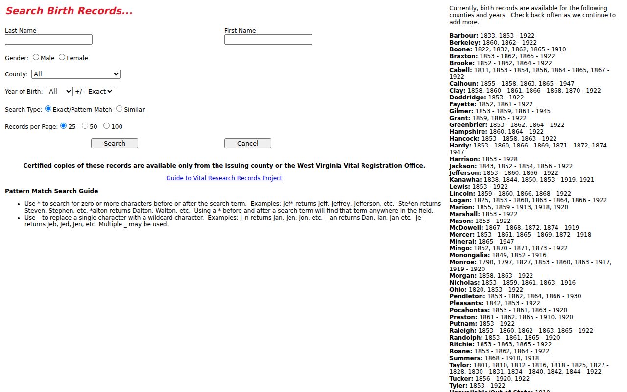
An index entry is a starting point, not a final answer. Use it to request the formal record from the eligible issuer. It may anchor a family timeline, but it transfers no property. The county's Document Center also links estate forms and probate material. It adds addressing documents and local history material. For a specific non-exempt record, the West Virginia FOIA, W. Va. Code chapter 29B, offers a formal request route. The custodian must respond as soon as practicable. The deadline is five days, excluding weekends and legal holidays. Reproduction costs may apply, though search labor itself cannot be charged.
Limits of Barbour County Property Records
Every record has a job, and confusing those jobs causes trouble. An assessor owner field is a tax-roll entry, nothing more. A deed is a recorded instrument. A GIS outline is just a tax-map feature. A permit file records an approval or inspection. Any of them can be incomplete or delayed. Some are trimmed to the fields the custodian chooses to display. A name match alone can tangle one person with another. It can also tangle one with an estate, a trust, or an LLC. For a purchase, inheritance, tax appeal, or boundary dispute, chase the record to its source. Ask the Clerk for the deed image and related instruments. Ask the Assessor for the current card and the appeal procedure. A licensed surveyor locates a legal line. A title professional can review claims across the whole chain. Save a copy of each parcel key and the date you checked it.
Lawful research. Use Barbour County property records for property history, tax questions, and civic research. A public record search is not a title opinion or survey. Do not use owner information to stalk, harass, or harm anyone.